
CDR and it’s specialist partners provide a wide range of services, which include:
ENVIRONMENTAL STUDIES – ASSESSMENT AND MANAGEMENT
- Environmental Impact Assessment (EIA)
- Environmental, Social, Health and Economic Impact Assessment (ESHIA)
- Offshore EIA Scoping/Desktop Studies
- Baseline Environmental Studies
- Environmental Sensitivity Studies
- Environmental Compliance Monitoring
- Environmental Evaluation Report
- Public Consultation and Stakeholder Engagement
- Strategic Environmental Assessment (SEA)and Sustainability Appraisal
- Environmental Survey
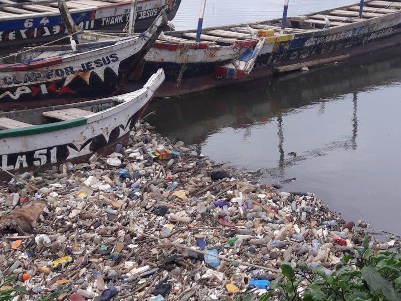
POLLUTION CONTROL – OIL SPILL MANAGEMENT
- Oil Spill Contingency Planning, Response and Clean up
- Oil Spill Trajectory Modelling
- Oil spill Response Products Procurement
- Soil and Water Remediation and Restoration
- Post Impact Assessment
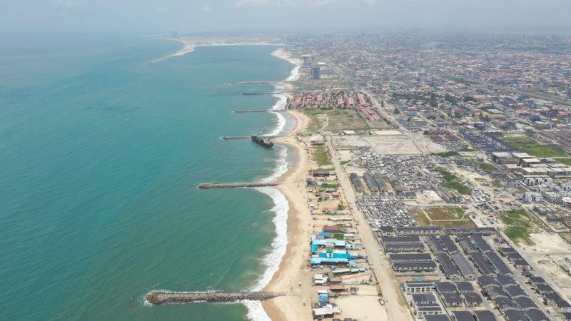
GEOGRAPHICAL INFORMATION SYSTEM (GIS), REMOTE SENSING (RS)AND MAPPING
- Land Use Mapping
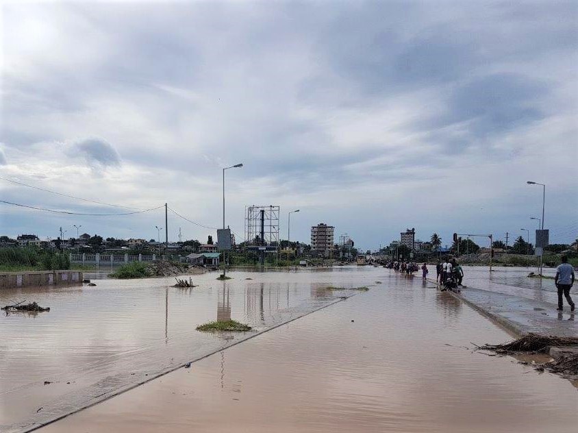
- Flood/ Erosion Risk Assessment
- Drought and Flood Mapping
- Wetland Delineation mapping
- Sampling / Soil Mapping
- Vegetation Health Mapping
- Geologic Mapping
- Natural Resources Management
CONTAMINATED LAND INVESTIGATION AND REMEDIATION
- Site Investigation Studies
- Assessment of Human and Environmental Risk
- Liability Assessment
- Assessment of suitability of sites for development purposes
- Assessment of remediation options, design and implementation of remediation schemes
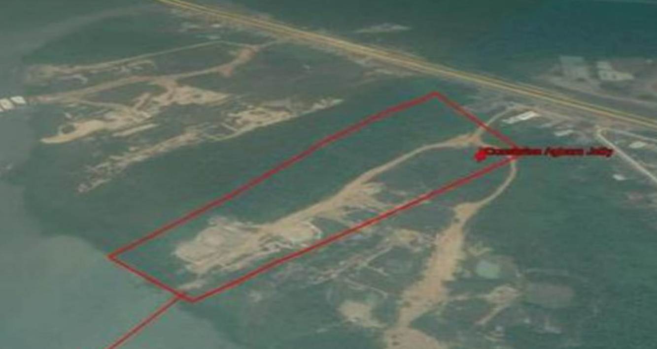
PERIMETER SURVEY
We provide land survey service for your parcel of land to delineate it from other properties. This gives you an insight to the size and the survey plan that you get through the appropriate lodging with the appropriate office of the state government gives you ownership of the land. Our services relating to perimeter survey also include the following:
- Pre-land purchases advisory services
- Land in-dispute services
- Boundary encroachment
- Establishment of beacon
- Land subdivision
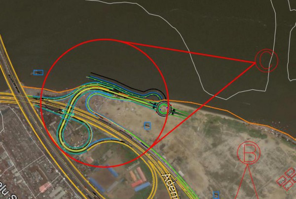
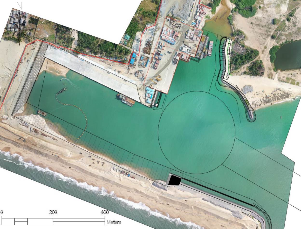
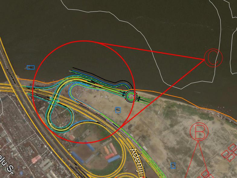
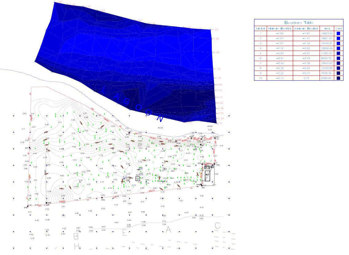
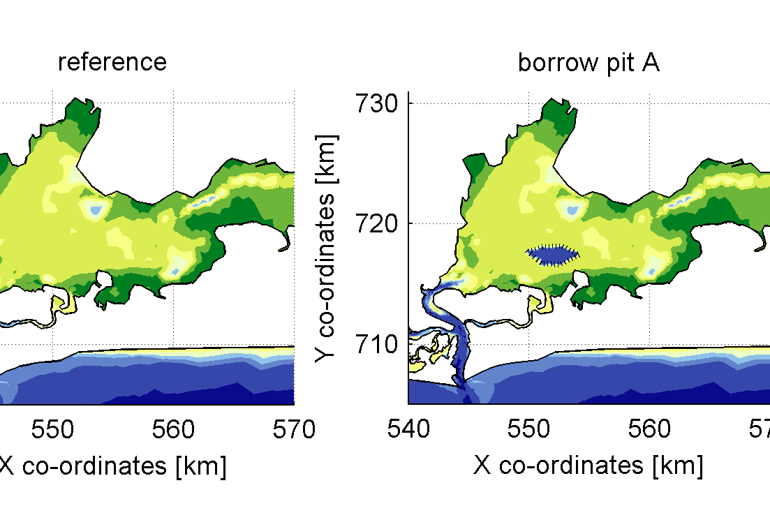
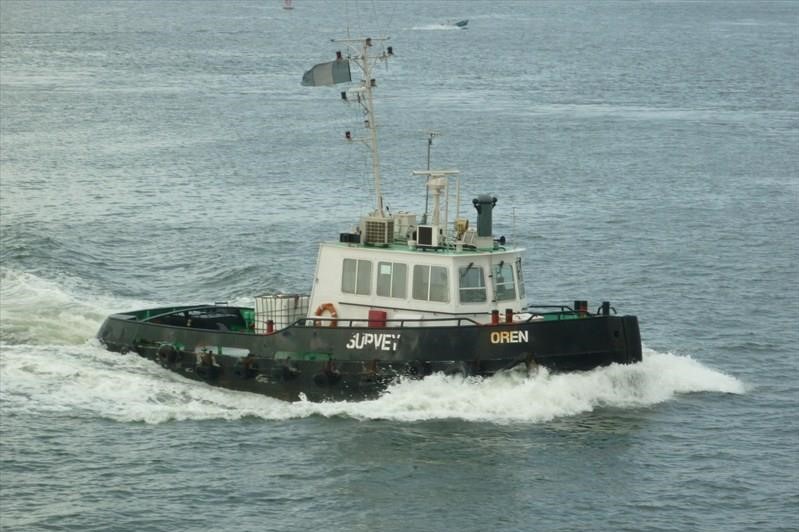
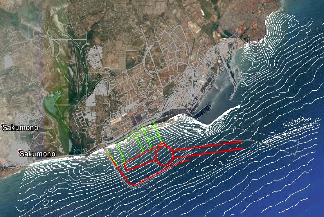
Our hydrographic survey service offers solutions to wide range of clients from governmental agencies to private organizations and multinational companies. We offer them timely and accurate data that suites their requirements. We provide the following services:
- Pre- and post-dredge volumetric calculations
- Volume calculations
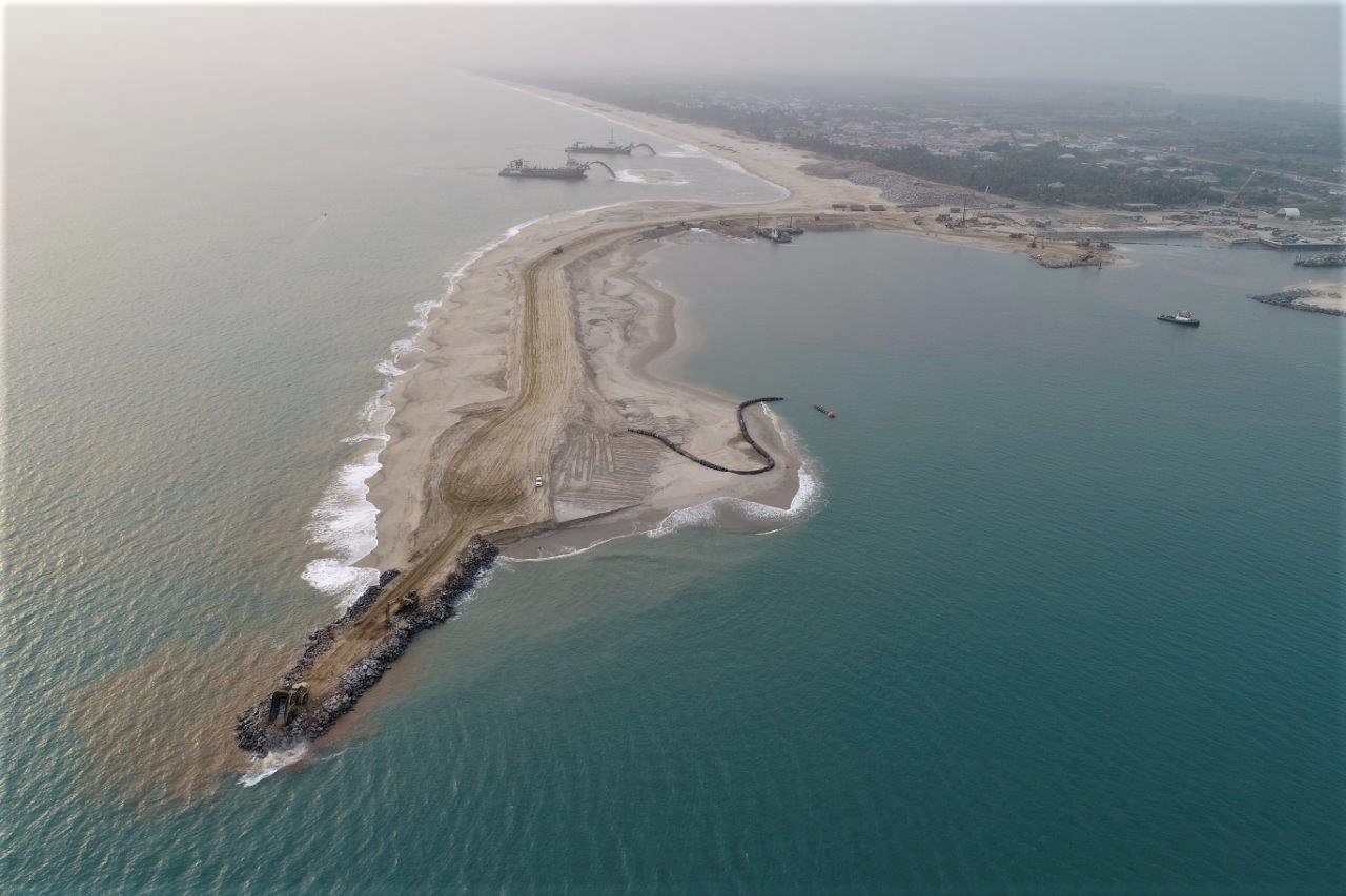
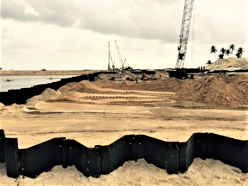
- waterfront development
- port and harbor improvement projects
- dock installations
- environmental remediation
- Safety of navigation surveys
- Sedimentation
- Erosion sites
- Monitoring
- Underwater survey for steel pile corrosion, oil and gas structures
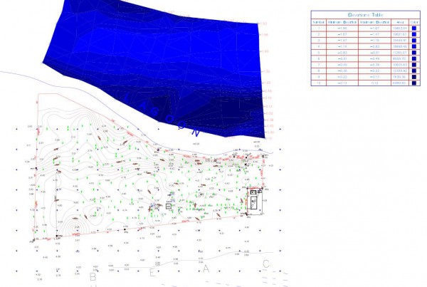
Our engineering survey services are suited to support infrastructure of different sizes and shades. From Right of Way (ROW) survey, to topographic survey, As-built Survey, Drainage survey, Utility relocation Survey and others. These surveys provide data to infrastructure such as road, bridges, intelligent transportation design, flying structures, power lines and other overland projects.
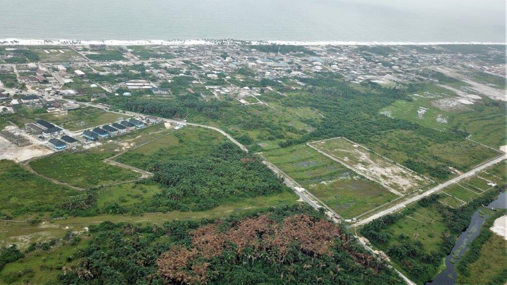
We offer GIS and mapping solutions that is integrative and easy to adapt to many applications in the market. We also provide this information to ease your decision making and analysis across different industry. We also provide aerial mapping services, giving highly detailed, accurate sitemaps, made of a composite of hundreds of high-resolution photographs, in just a few hours with our drone.

